
Cyclone Akvan remnant weakens into low-pressure area over Odisha
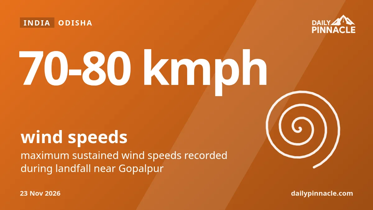
The system moved northwards after crossing the coast near Gopalpur on Friday morning with high wind speeds.
The remnant of Cyclone Akvan transitioned into a well-marked low-pressure area over central Odisha at 11.30 pm on November 20, according to the India Meteorological Department (IMD). The system, which was previously a severe cyclonic storm, is expected to move northwards and weaken further within the next six hours, according to reports from Deccan Chronicle and Odisha Bytes.
The cyclone made landfall near Gopalpur between 7.30 am and 8.30 am on Friday. During landfall, it recorded maximum sustained wind speeds of 70-80 kmph with gusts reaching 90 kmph. No major loss of life or significant damage has been reported in Odisha so far.
While rainfall in Odisha is expected to decrease, isolated spells may continue. The IMD forecast for November 21 includes heavy rain at isolated locations in east Chhattisgarh, Jharkhand, southeast Bihar, Gangetic West Bengal, and Sub-Himalayan West Bengal. Heavy rain is also predicted for parts of Assam, Meghalaya, Manipur, Mizoram, and Tripura.
Director of the Regional Meteorological Centre in Bhubaneswar, Manorama Mohanty, said rainfall activity has reduced in Odisha, though some northern and coastal districts might still see rain. She noted that Balasore, Mayurbhanj, Keonjhar, Kendrapara, Bhadrak, Jagatsinghpur, Jajpur, Puri, Khordha, and Cuttack could experience rainfall.
The IMD also expects a drop in night temperatures in Odisha by 2-4 degrees Celsius from November 22 as cloud cover clears. Wind intensity along the north Odisha and West Bengal coasts is also forecast to reduce gradually.